


What remote-sensing reveals about plants, forests, and minerals from space
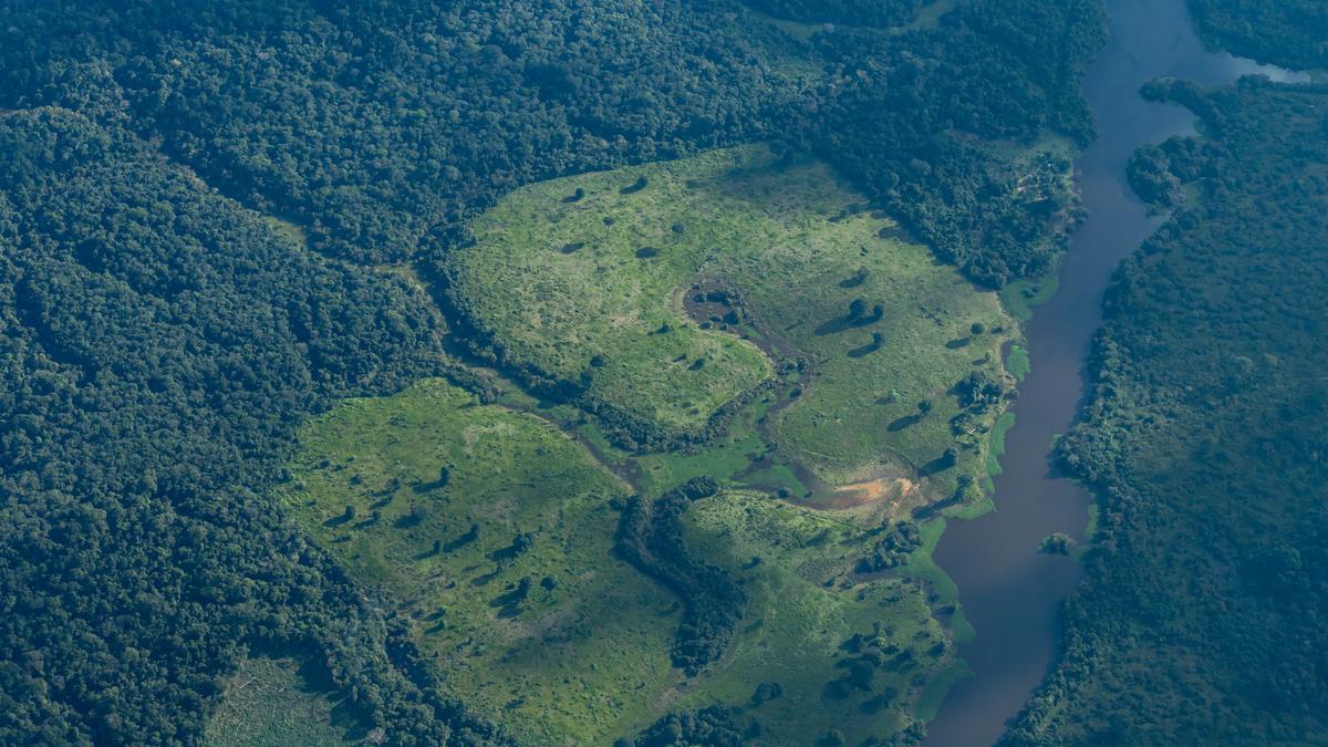
From tracking the health of a forest to finding water deep underground, their satellites and drones are changing the way humans understand our planet. How do satellites map water? To map water bodies from space, scientists mainly use two complementary techniques: optical indexing, using reflected sunlight, and synthetic aperture radar, using active radio waves. Muddy water reflects light differently than clear water, and water full of algae has a specific spectral signature. However, the basement rock deep below it, such as granite or volcanic rock, is magnetic.
Source: The Hindu January 06, 2026 12:46 UTC
