
Scientists release most detailed map of Teton quake fault
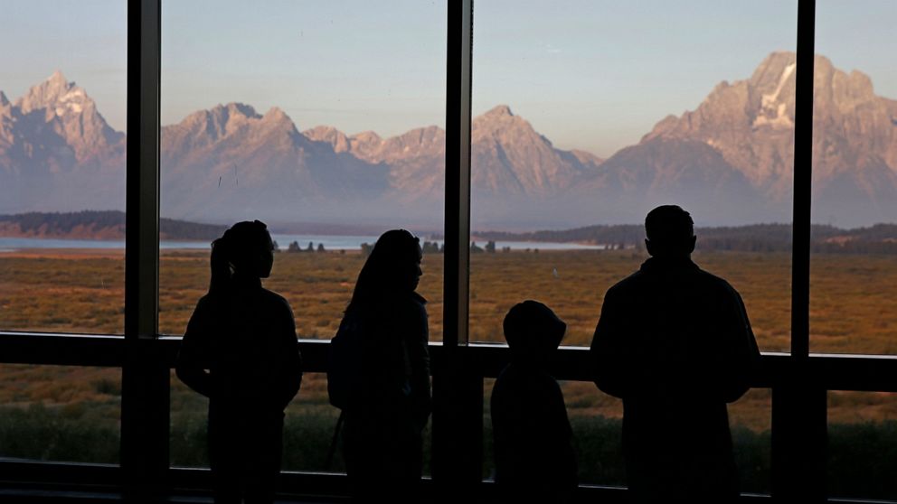
Millions of tourists visit Jackson Hole, Wyoming, every year to sightsee, hike or ski the Teton Range, which was formed by the Teton fault. Research shows the Teton fault last ruptured more than 5,000 years ago. The Wyoming State Geological Survey released the new map of the Teton fault this week. Aircraft with the equipment flew up and down the Teton fault to create precise images of the terrain, helping geologists pinpoint the fault's location. Seth Wittke of the Wyoming State Geological Survey and others reviewed the work and went to the field to check its accuracy.
Source: ABC News April 05, 2019 19:30 UTC