

Satellite images show Nebraska and Iowa rivers swallowing towns
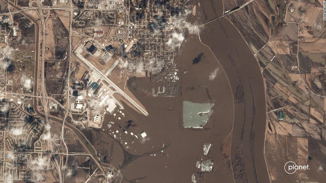
Upstream from Scribner, Nebraska, on the Elkhorn River, a flood gauge measured its second highest crest: 17.65 feet. The images show how the Elkhorn River temporarily made the town of Scribner an island . Normally, the Logan Creek Dredge, the river that flows into the Elkhorn River, is barely visible. The Platte River, to the left in the image, also was at historic levels farther upstream , in Leshara, Nebraska. One of the most dramatic images shows the mouth of the Platte River where it meets the Missouri River near La Platte, Nebraska.
Source: CNN March 18, 2019 21:33 UTC