


Satellite data exposes scale of haze crisis
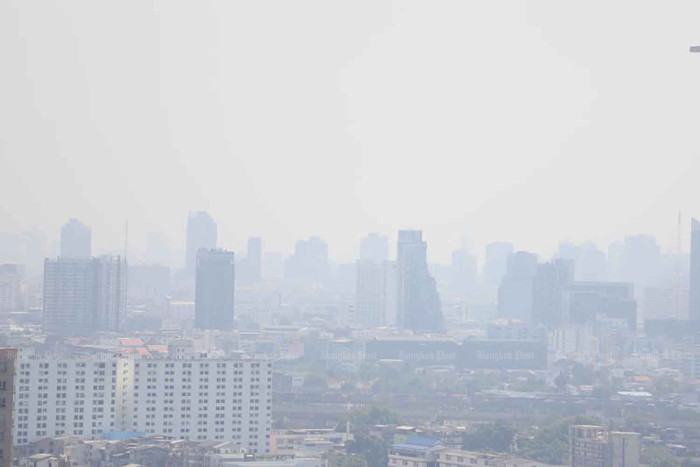
Satellite data exposes scale of haze crisisThailand recorded 2.26 million rai of burned areas last month, highlighting the scale of the environmental crisis and its direct link to seasonal haze and PM2.5 pollution, says the Geo-Informatics and Space Technology Development Agency (Gistda). Gistda said "burned areas" are not merely traces of forest or agricultural fires but crucial evidence of widespread environmental stress. An analysis of Sentinel-2 satellite data covering Jan 1–31 showed the country's cumulative burned area reached 2.26 million rai. Land reform areas recorded 421,000 rai, followed by national forest reserves at 213,000 rai. Community and other areas accounted for 117,000 rai, conservation forests for 58,600 rai and areas along highways for 17,100 rai.
Source: Bangkok Post February 07, 2026 23:55 UTC