
NOAH isn't gone but here's what we lost when the project ended
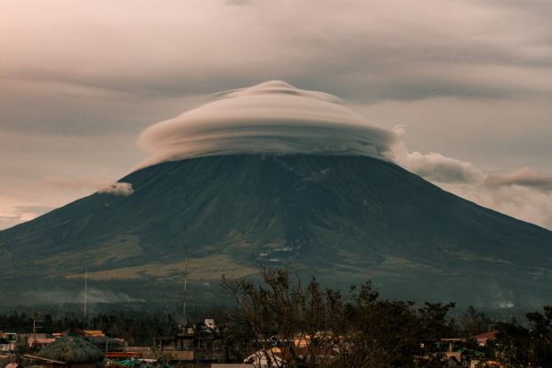
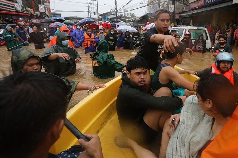
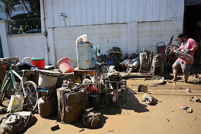
But what does the termination of Project NOAH three years ago mean for an archipelagic country exposed to a multitude of disasters such as tropical cyclones? Project NOAH was composed of disaster mitigation and prevention component projects funded by the Department of Science and Technology. Project NOAH provided hydrometeorological hazard maps, which included barangay-level flood hazard maps for major river basins, storm surge maps for coastal communities, landslide hazard maps, and even hazard maps for debris flows. It also developed impact assessment tool called WebSAFE and mobile application Arko that provided users with location-specific flood hazard maps, as well as storm surge and landslide hazard maps. Project completed, but work 'not yet done'In January 2017, the government announced it would pull the plug on Project NOAH due to “lack of funds” for it.
Source: Philippine Star November 13, 2020 10:30 UTC