


How big are the fires burning on the east coast of Australia? Interactive map
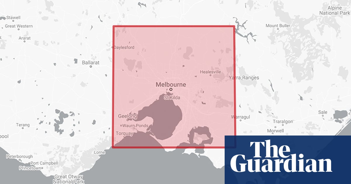
The ongoing bushfires in eastern Australia have killed six people and destroyed more than 680 homes in New South Wales. The scale of the area burned by the fires is immense, with at least 2.2m hectares burned or currently burning in NSW and Queensland. Previously, we showed how quickly individual fires could spread by animating hotspot data, but we have since had many requests to show the overall scale of the fires. While there is data available for burned areas generated from satellite imagery, it is not yet available for the current fires. Instead, we have constructed a simple polygon that matches the area of each fire or fires selected, with the ability to overlay it on different capital cities for scale.
Source: The Guardian December 07, 2019 03:00 UTC


