
Egypt introduces new satellite image analysis application to enhance irrigation water distribution
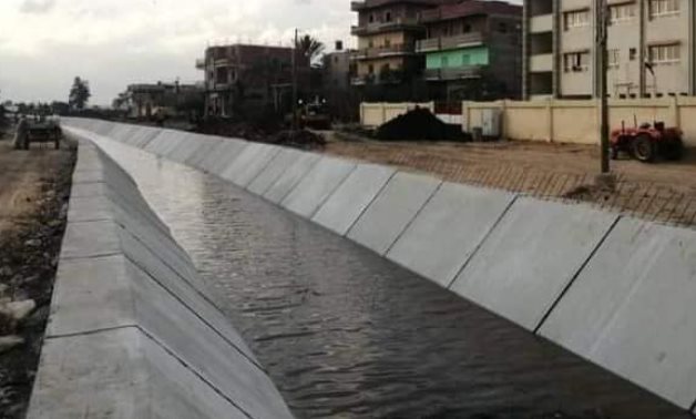
CAIRO – 11 June 2024: The Ministry of Irrigation and Water Resources unveiled in a statement Tuesday that the pilot operation of a newly-devised system for analyzing satellite images to identify the spatial distribution of crop types had begun in Kafr El Sheikh governorate. The project is about developing "machine learning" algorithms that produce crop type maps enabling a better distribution of irrigation water and monitoring of crop growth. The spatial distribution of crop types is currently carried out through remote sensing, and irrigation water distribution is decided using the software dubbed RIBASIM (River Basin Planning and Management).
Source: Egypt Today June 11, 2024 11:06 UTC