


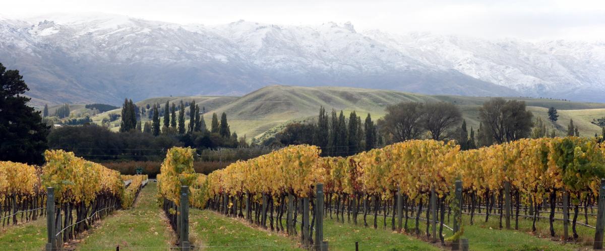
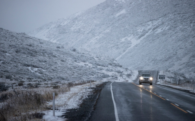
Cold burst will cause temperatures to drop, snow for elevated areas
‘‘Eastern regions of the South Island will likely see the sharpest drop in temperatures from the week’s start to end, with single-digit maximum temperatures showing up for Southland and Otago on Friday. "As that wind turns southwest on Friday, we’re expecting snow levels to lower to about 500m or 600m. ‘‘They will see snow about the mountains but in terms of accumulations, it’s not going to be huge.’’She said the snow would be short-lived and would likely disappear on Sunday. The cold burst may come as a shock to stock so farmers with stock at higher altitudes were advised to be prepared. Some high roads, such as the Crown Range Road, Lindis Pass and the Milford Road could also be affected.
Source: Otago Daily Times May 16, 2022 03:36 UTC

/cloudfront-ap-southeast-2.images.arcpublishing.com/nzme/KTF5VIEOK4WFEQN55X7VZSEHWY.jpg)