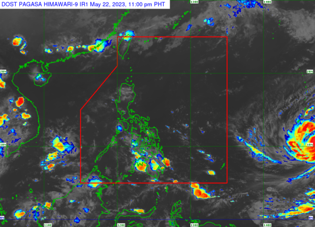
MANILA, Philippines — The tropical cyclone spotted outside the Philippine area of responsibility (PAR) has further strengthened and is likely to turn into a supertyphoon, the Philippine Atmospheric, Geophysical and Astronomical Services Administration (Pagasa) said on Monday. The weather disturbance, with the international name Mawar, was observed 2,275 kilometers east of Mindanao on Monday afternoon within the intertropical convergence zone, said Pagasa weather specialist Ana Clauren-Jorda. ADVERTISEMENTClauren-Jorda said that Mawar has maximum sustained winds of 130 kilometers per hour and gustiness of up to 185 km. Mawar will be given the local name “Betty,” when it enters the PAR by Friday or Saturday. It has a chance of intensifying to at least 185 km, added Clauren-Jorda.